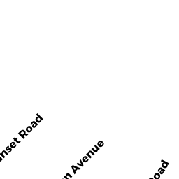
73 SUNSET RD
Owner Information
DOUGHERTY MARK H + JENNIFER D
73 SUNSET RD
WINCHESTER, MA 01890


Property Details
73 SUNSET RD is classified as a Single Family Residential (Colonial).
The primary structure on this property was built in 2001. There are 5,523ft2 of built area within this property. There is 5,523ft2 of residential/living space within this property. This property is listed as having 8 rooms.
73 SUNSET RD is valued at $1,587,900. The land is valued at $563,200 and the structures are valued at $1,022,800. There is an additional valuation of $1,900 on this property.
This property is in Zone RDB. Confirm with local Zoning Board authorities to ensure there are no overlays or other easements on this property.
73 SUNSET RD was last sold on Wednesday, February 1, 2012 for $0.
Assessment data from fiscal year 2021.
Flood Data
According to the FEMA National Flood Hazard Layer, this property does not appear to be in a flood zone. It may also be in an area not yet reviewed. Nonetheless, confirm this information prior to taking any action.
To view the flood hazards around this property, create a FEMA "Firmette" Map of the area around 73 SUNSET RD.
Broadband Internet Providers
| Provider | Type | Bandwidth (mbps) | |
|---|---|---|---|
| Viasat Inc | Satellite | 100 | 3 |
| T-Mobile | Fixed Wireless | 25 | 3 |
| VSAT Systems, LLC. | Satellite | 2 | 1 |
| HughesNet | Satellite | 25 | 3 |
| Crown Castle Fiber | Fiber | 0 | 0 |
| GCI Communication Corp. | Satellite | 0 | 0 |
| Comcast | Cable | 1000 | 35 |
| Verizon New England Inc. | Fiber | 940 | 880 |
Broadband service provider data from December 2020.
Adjacent Properties
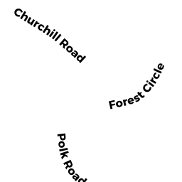
- 0 FOREST ST
Developable Residential Land owned by MONTVALE LAND LLC - 230 FOREST ST
Single Family Residential owned by OLSON THOMAS K + TRACY S - 75 SUNSET RD
Single Family Residential owned by FARONE FRANK L - 9 CHURCHILL CR
Single Family Residential owned by MELARAGNI STEPHEN M & MARY E - 8 CHURCHILL CR
Single Family Residential owned by HU YONGBO + JIANG YAO - 71 SUNSET RD
Single Family Residential owned by QIU ZHIHUA + JIANXUN WANG